")
")
")
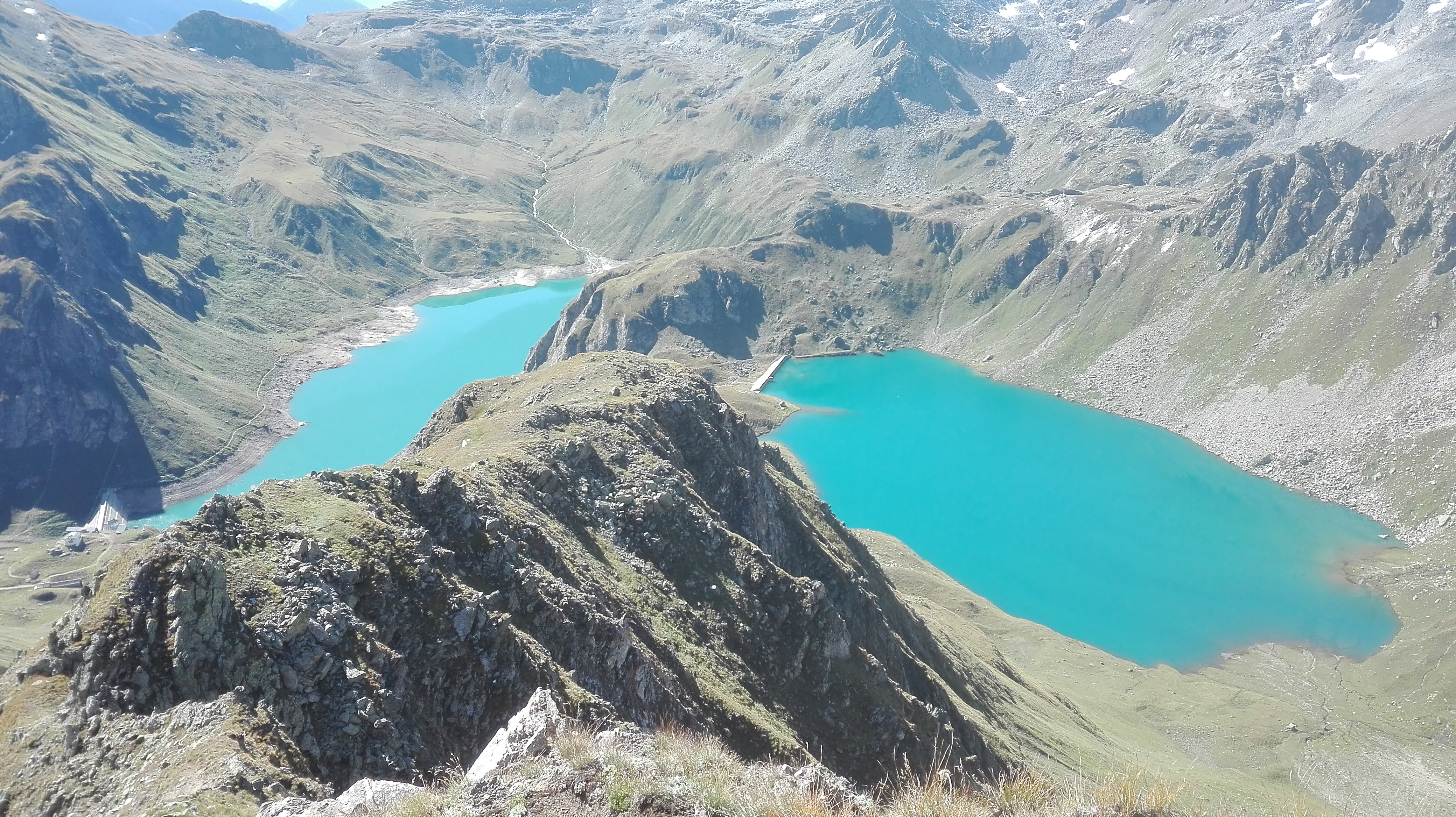
From the Sagersboden area, 1772 m above sea level, reachable via a chairlift from Valdo (Seggiovia Valdo – Sagersboden, tel +39 0324 63114, Tel. Mob. +39 348 0941964 www.formazzaski.com) or on foot from Canza, we follow along the agricultural road towards the Vannino Alp (track code G99). The Canza – Vannino Alp ascent represents the first stage of the Blue Itinerary Alpine Way (Via Alpina Itinerario Blu). Once surpassed the steep hairpin bends in the fir tree woods, we come out of the lengthened plain that coasts the torrent. On the right we observe the “Rocciodromo”, a 50 meter-high rock face with numerous ways up. In the middle of the valley take the brief detour on the left to the Miryam Mountain Hut, from where we can go to the Great Vannino Valley, reaching the “small dam” and its overlying humid surfaces. We continue our way up softly following the road and, after a small plain tract, we come before the Lake Vannino Dam, where the Vannino alpine pasture can be found (we’re in the area of production of the renown Bettelmatt cheese) just a few steps from the Margaroli Mountain Hut (2194 m), where one can view the potting and wide basin found between the Jupiter Mountain (Monte Giove) and the Minoia Mountain.
From the mountain hut we can take the steep track G97 towards the Nefelgiu Mountain Pass and we immediately reach the fork to Sruer Lake, where we turn left and with a traversal on a rather engraved path we reach the Sruer Lake Small Dam.
Last update: 06/03/2018 ore 10:28:03


