")
")
")
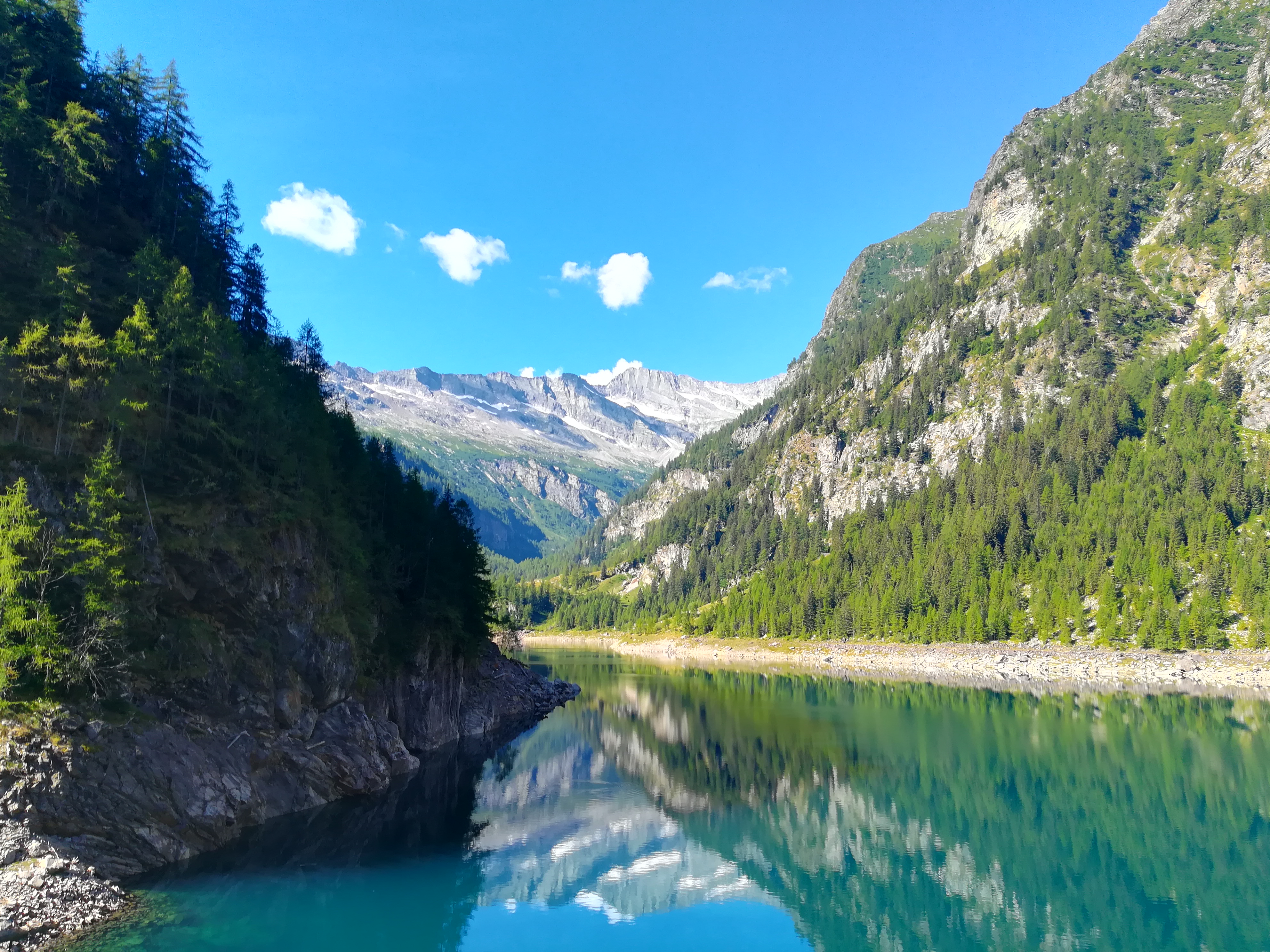
From the square in front of the church of Antrona, take the Strada Antronesca (C00) road until Cimallegra and Acqua Bona, then turn onto trail C34 for Ronco. The trail passes high above the cluster of houses and continues along the hillside with a pretty panoramic view until coming to the Campliccioli Dam. It proceeds on a flat street as it comes to a short tunnel and then arrives at the hydroelectric plant. From here, take the trail that crosses the Banella River and then follows along the western side of the lake. Pass Alpe Vassoncino and start to climb uphill until coming to a rocky, panoramic hill with the Alpe Granarioli. Continue along the hillside until the turnoff, descend by crossing the bridge over the Troncone and take the trail that flanks the east side of the lake. Almost immediately, you will come to the tracks of the old Decauville railway used to transport materials when the dam was being built. Follow the rails and you will soon come to the departure platform for the funicular which connects to Camposecco. Head downhill to the car park below the Campliccioli Dam, then cross the street. Keep going downhill along the Strada Antronesca (C00 sign posts) which leads to Lake Antrona. From here, crossing the large, wooded landslide, return to Acqua Bona, then re-join the trail to Antronapiana taken on the way out.
Notes: The Campliccioli Dam was built on the Troncone River between 1924 and 1928. At the deepest part of its foundation, it’s 80 m (262 ft) high and 278 m (912 ft) wide. The lake can hold 8.8 million cubic meters (310 million cu ft) of water.
Last update: 06/03/2018 ore 16:21:04


