")
")
")
General features:
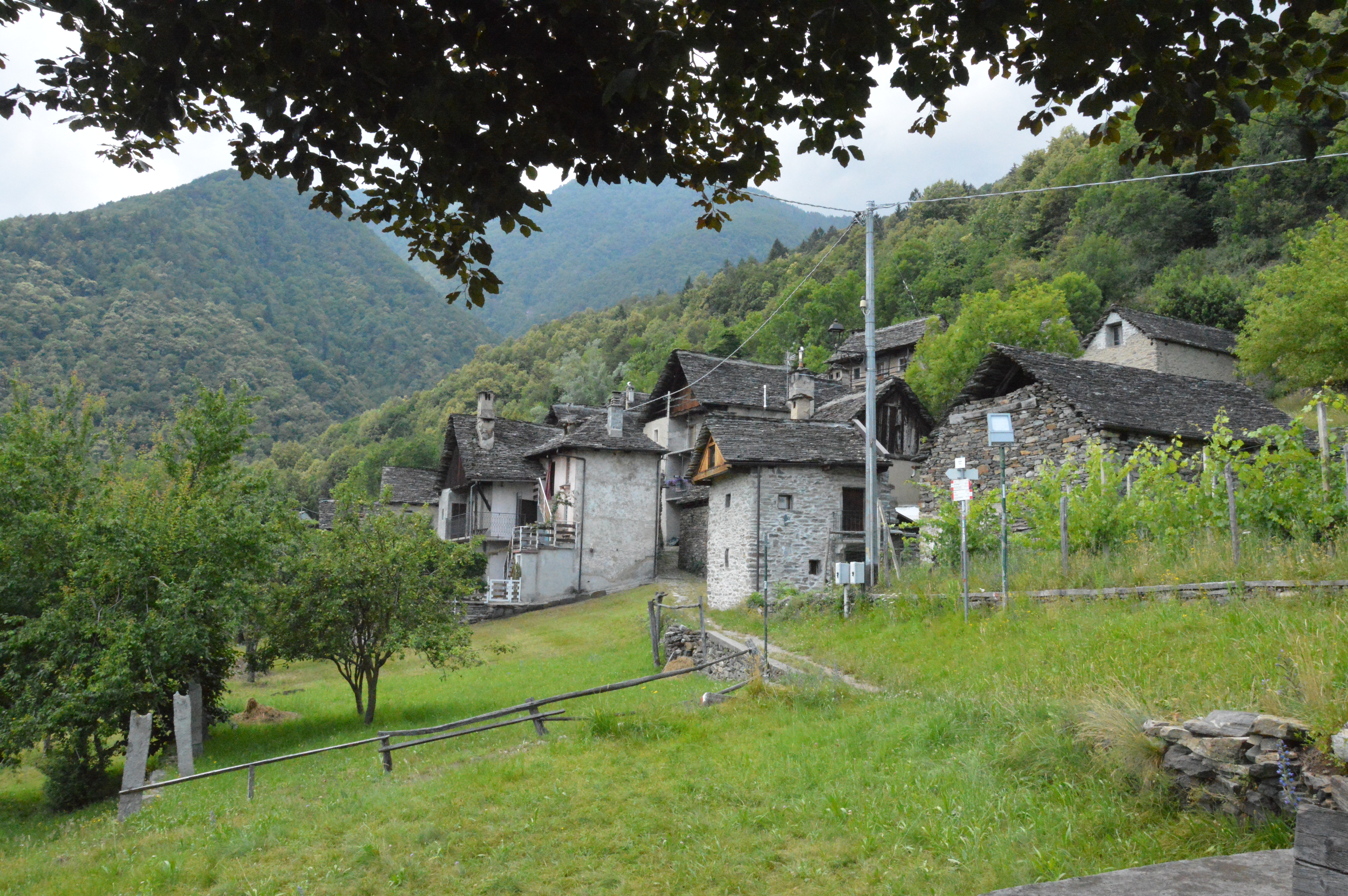
Ring itinerary to rediscover the bond that united man to nature through the chestnut tree, a symbol of the Ossola peasant civilization. Go through rural villages, traditionally built in stone and wood, and woods that still show evident evidence of the life and economy of the past.
The route:
From Via Matterella, south-west of the center of Domodossola, continue going up the Via Crucis in the direction of the square of Sacred Mount Calvario (UNESCO Heritage). From here on path D0 reach rapidly San Defendente and the nearby hamlet of Cruppi. On a beautiful half-paved mule track that cuts through terraces planted with vines and chestnut woods reach the village of Anzuno, an ancient well-preserved traditional village, where there is still an oven and an oil mill, both well restored; it is possible to visit them only by appointment. Continue going out of the village in the direction of Molini, where there are the ruins of the old mills. Inside one of the two millstones is still intact. Follow the path to go back to Anzuno and keeping the lower part of the path that passes in front of the small church of the village, continue up to Crosiggia and shortly back to the Sacred Mount Calvario.
Notes:
Itinerary particularly suitable for educational visits: www.sacri-monti.com
Trail sign A1 - D0. Educational panels on the peasant civilization in Anzuno. It is possible to continue from Anzuno in the direction of Villadossola along the Via dei Torchi e dei Mulini itinerary.
Sacri Monti del Piemonte e della Lombardia, Patrimonio Mondiale Unesco: www.sacrimonti.net http://whc.unesco.org/en/list/1068
Notable Items along the Track
Sacro Monte Calvario di Domodossola, Borgo di Domodossola, Rural architecture in Anzuno