")
")
")
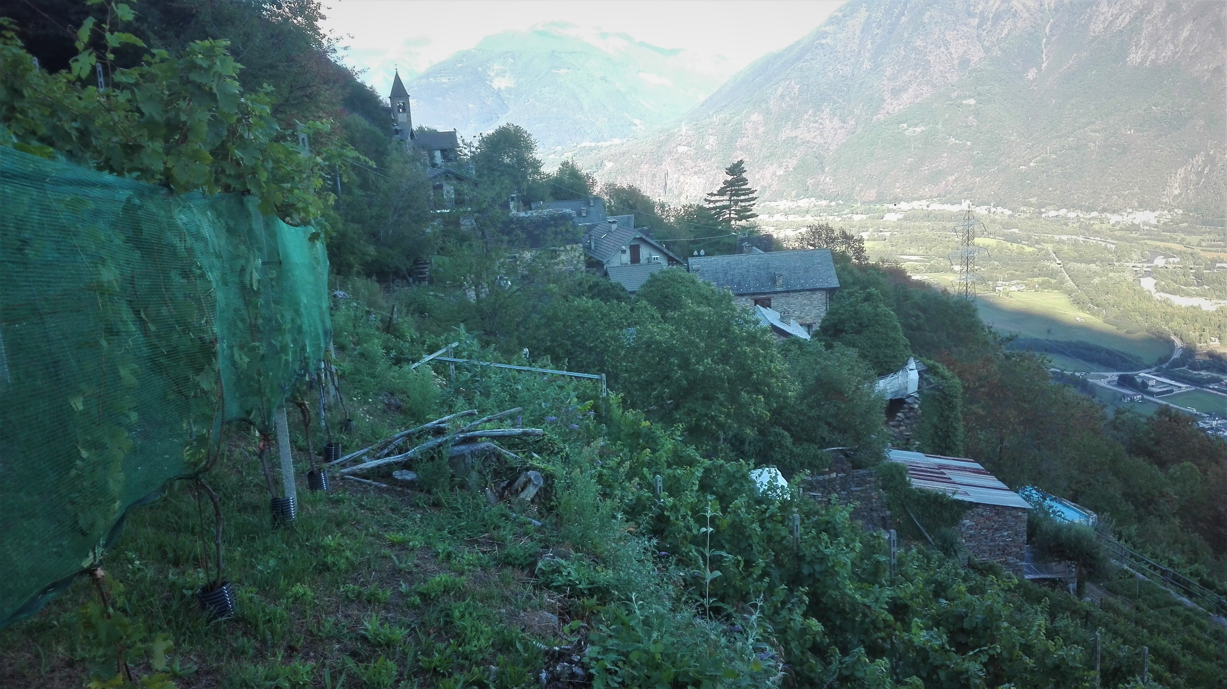
From Gabi Valley, head uphill on the street that leads to the upper part of the village until almost reaching the centre. Turn left and venture into the houses on a slight incline until coming to the mule track that comfortably leads to Valpiana. From Valpiana, take the route marked A03 which climbs up to Tappia, a pretty hamlet with a bread oven, a wine press, an agriturismo and a shop with locally-produced wines. A few dilapidated houses still show signs of the fires set as retaliation by the Germans during the Italian resistance in WWII.
From Tappia, take the wide trail (A01) towards Anzuno and arrive at the Cappella dell’Oro (the “Chapel of Gold”), whose name derives from the malaproprism of the dialect word “Ör”, which actually means edge or brink (and you will easily note that it is located on the edge of a sharp escarpment). The trail continues until the Anzuno River with a series of now-deteriorated water mills and shortly after reaches the village of Anzuno, surrounded by terraced fields. From the town centre, turn right and hike down below the street to enter the trail for Rogoledo. From there, walking towards Villadossola, come to the bridge of the power station in the Gabi Valley and return to the departure point.
Note: This educational itinerary is the product of collaboration between Villadossola’s middle school and the Club Alpino Italiano (CAI) of Villadossola. It passes through upper hamlets and stone villages clinging to the sides of mountains and surrounded by terraced fields which reveal the “rural mountain life” that was found here in the last millennium.
Last update: 06/03/2018 ore 16:38:26


