")
")
")
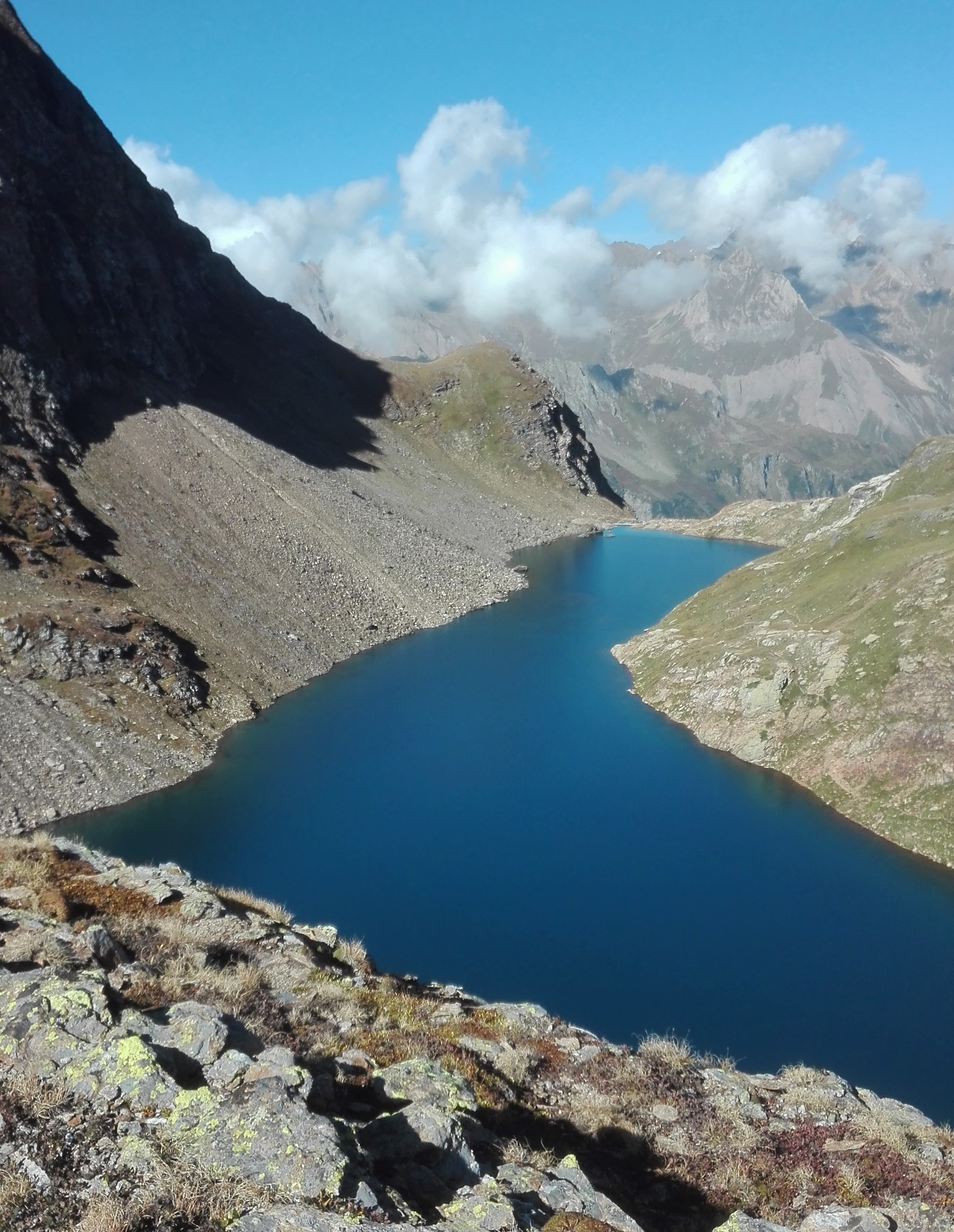
From the car park at the Toce waterfall (Cascata del Toce), follow trail G00 (Via del Gries) until passing over a hill. At the fork, leave the trail for Riale and turn to the right to follow trail G22a, which begins with a sharp incline in a thick wood of alders until you reach Alpe Ghighel. Continue along the tractor path that arrives from Lake Castel for a few hairpin bends until reaching the turnoff for Lake Nero. Take the path to the right, following the long trail along the hillside that leads to the bottom of a pretty valley. Wade through the stream and from here the trail begins to quickly rise amongst rocky cliffs worn smooth by ice. Proceed by carefully following the painted trail markers and, with one last steep surge, you’ll reach Lake Nero.
To return, follow the same uphill trail until Alpe Ghighel, then take the path that leads to the Lake Castel Dam. The path flanks Lake Castel on its western shore and by taking a few short detours you can reach extraordinary panoramic points that look out onto the large valley of Riale and Reservoir of Morasco. From the Castel Dam, head downhill to the intersection with the dirt road connecting Riale – San Giacomo Pass, just before the mountain hut of Rifugio Maria Luisa. Turn to the left to take the flat stretch of road, then follow the markers for trail G20, which cuts through the hairpin bends of the street and quickly takes you to Riale. From there, take Via del Gries (trail G00), which leads back to Toce Waterfall.
Notes: The “Sentiero fiorito” (flower trail), dedicated to meadows of exceptional natural and botanical interest, spans between Alpe Ghighel and the guardhouse of Lake Castel. Multimedia content about it can be found on Cariplo Veglia-Devero.
Last update: 06/03/2018 ore 14:03:18


